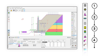
GEO5 programi imaju jedinstveno okruženje i intuitivan tijek rada.
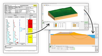
GEO5 integrira modeliranje geoloških podataka s naprednim geotehničkim zadacima.
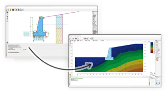
GEO5 omogućuje usporedbu dvaju nezavnisnih rješenja.
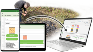
Prikupljanje geoloških podataka na terenu i slanje u program Stratigrafija.
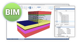
GEO5 izvozi podatke u zajedničke BIM formate i dijeli ih s programima treće strane.
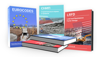
GEO5 je univerzalni alat za inženjere diljem svijeta.
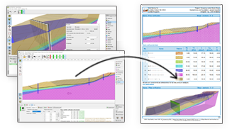
GEO5 izlazni izvještaji se mogu jednostavno urediti ili izvesti u PDF ili MS Word formate.
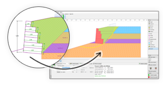
GEO5 omogućuje prijenos podataka između individualnih programa.

GEO5 generira izlazne izvještaje na raznim jezicima – korisno za strane projekte.
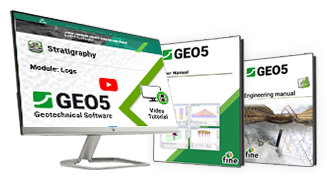
Naši tutorijali i priručnici će vas brzo provesti kroz programe.
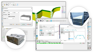
GEO5 sadrži kataloge profila, zagatnih pilota, sidara, čavala, geomreža i blokova.

The software in general is very good and ties in well with the way we do things here. From our review, the calculation results compares very well with our methods for both slope stability and settlement. The graphics and the ‘point-and-click’ data input are also very good and makes the program very easy to use.

It’s really great how easy the software is. I’m now doing the calculations so much faster and easier than doing it manually and most importantly, the technical customer service team are great and they respond instantly and professionally to any question or clarification. Thank you guys for being so awesome. High fives!

Great software....highly recommend.....always updating/improving and implementing feedback from users.